“There is going to be even more data in the future with things like AI and machine learning, real time data, and drones. Data is always going to impact decision making and GIS is one tool that can help facilitate that.”
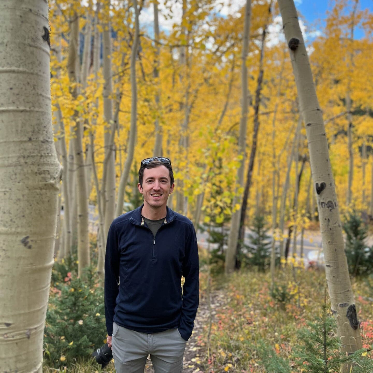
We’re an interconnected nationwide team, but we each have our own reasons for being passionate about the work we do. This month, get to know Kyle Benne, senior GIS specialist in our Phoenix office.
What’s your background and how did you become a transportation professional?
I grew up in Berks County Pennsylvania and studied geography at West Virginia University. It was there where I was introduced to GIS and planning. Fun transportation fact, Morgantown, WV (home of WVU) has one of the only Personal Rapid Transportation (PRT) systems in the world! I then moved to Tucson, Arizona to get a master’s degree in urban planning at the University of Arizona. While there, I focused on GIS and got involved in research focusing on wildlife connectivity and the impacts of development on them. In one class, we had a competition to see who could build the most sustainable city in the game SimCity, which I played all the time growing up (and still occasionally today!).
After graduate school, I worked as a GIS intern with the Maricopa County Elections Department, where I did everything from drawing street centerlines to updating address points, to counting write-in ballots. I then got a job as a GIS analyst at a large engineering firm focusing on transportation projects before finally coming to Kittelson.
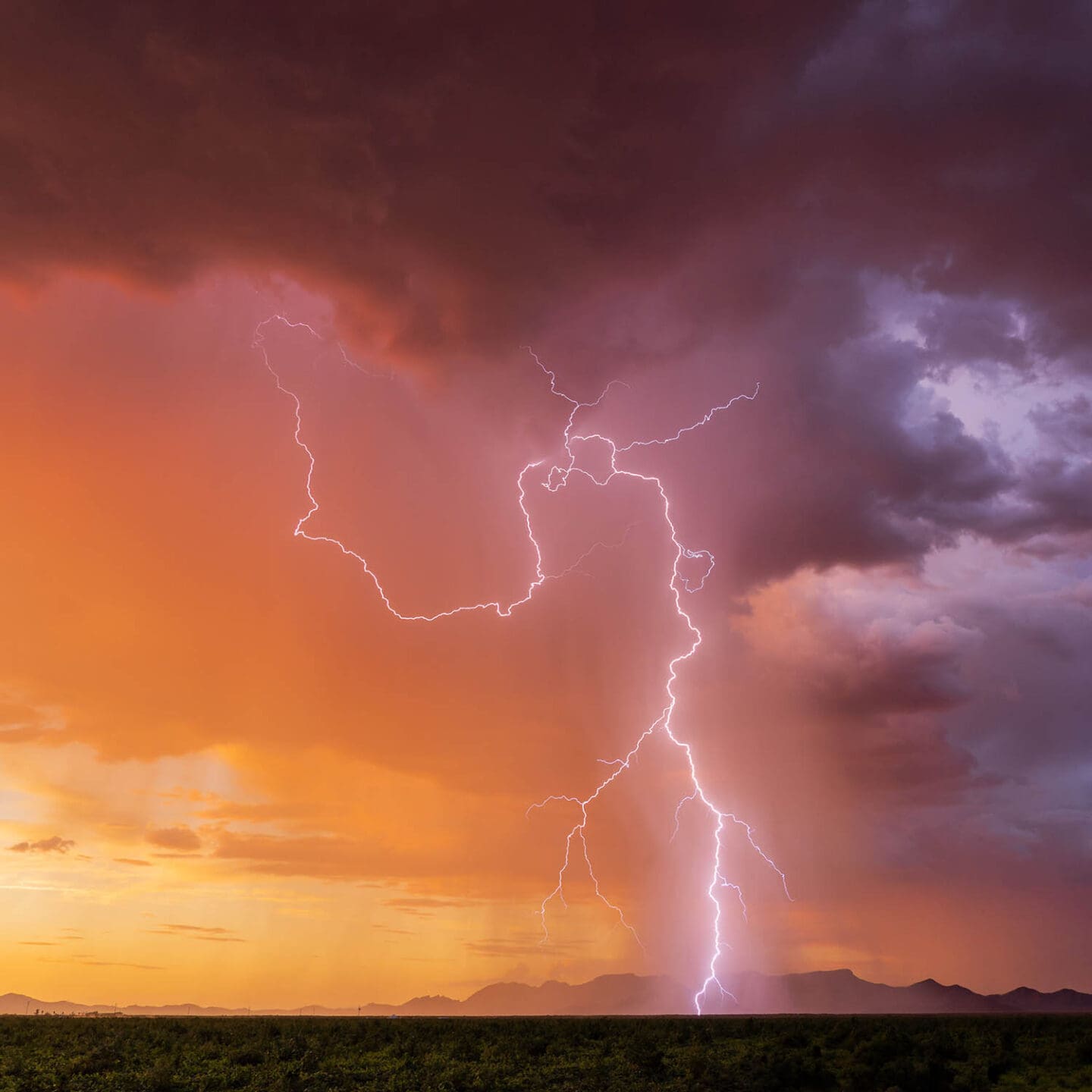
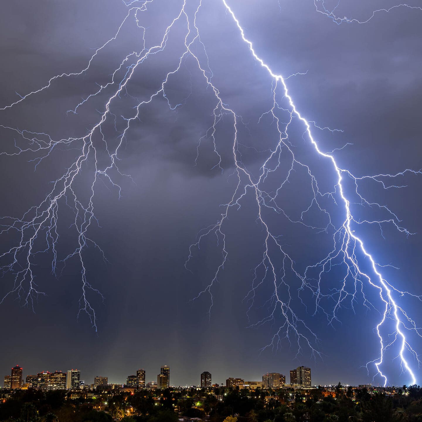
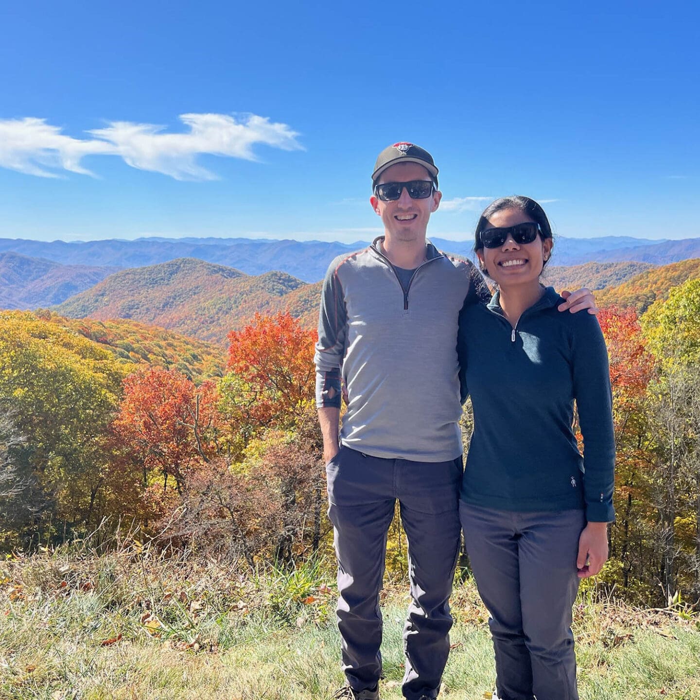
Outside of work, I’m all about adventure and never leave home without my camera. Whether I’m capturing the calm of misty mountain mornings, chasing storms for that perfect shot, or hiking through tough terrain to find hidden gems, I live for the wild beauty of nature. Traveling is my passion, and every trip feels like a photo-worthy quest—storm clouds, sunsets, you name it, I’m there. If there’s a dramatic horizon or a storm rolling in, you can bet I’ll be right there, ready to capture it in a single, breathtaking moment.


What does a typical day look like as a GIS specialist?
A typical day can range from creating basemaps for other staff to use, data collection/cleaning, data analysis, creating StoryMaps, or helping others with various GIS issues. The day-to-day variety is what keeps the job interesting. I am usually working on more than one project per day (often way more). Sometimes I am involved in the project from the beginning, and sometimes I only work on one small task for the project. Almost every project requires some sort of mapping—sometimes it is just a simple map of the project location, and other times it is a whole series of maps for a large planning study. A typical day sees me working with many different coworkers as well, from planners, engineers, and creative services to junior staff and project managers.
What do you think are the most important skills for someone in your position?
The 3 most important skills are data management/analysis, cartography, and communication:
- Attention to detail—this applies to many things from cartography to data management. Small things like where labels are placed to what colors are used on maps can affect the way the data is presented and interpreted. For data management, the data we use isn’t always ready for analysis when received. It needs to be quality checked and updated and that process can be tedious, but it is crucial to get good outputs when doing analysis.
- Communication—making sure you know what the client/project manager/analyst wants, have the ability to explain GIS tasks/processes to non-GIS users, and explain how GIS can be used as a tool to complete a task.


What does GIS look like in the future of transportation planning and engineering?
Planning and engineering projects will continue to need mapping/cartography and data analysis. Anything from corridor studies to large transportation master plans. GIS is integral in things like calculating Bicycle Level of Traffic Stress (BLTS) and Pedestrian Level of Traffic Stress (PLTS). There is going to be even more data in the future with things like AI and machine learning, real time data, drones. Data is always going to impact decision making and GIS is one tool that can help facilitate that. We already use GIS in many of our projects today and I don’t see that changing anytime soon.
What advice do you have for someone considering a career in GIS?
There are many different uses for GIS in many different industries. Having a focus area helps. If transportation is your passion, do a deep dive into the uses of GIS in transportation; what analysis is done, what tools are used, etc. If you are unsure of a specific industry but just have a passion for spatial data analysis or cartography, learning the software used will go a long way. The other aspects of the industry can be learned over time.
- ArcGIS Pro is the industry standard. It is important to learn this, as ArcMap won’t be around forever!
- Take classes in school or online.
- Take free ESRI online classes.
- Work on personal projects—ESRI has a personal use license to access ArcGIS Pro, and it is very affordable.
- Create a portfolio—just having a portfolio of your work goes a long way to having your application be seen. It can include school projects, personal projects, or projects from an internship or job.
- Get involved in local GIS professional groups!
