September 6, 2023
How do we measure the success of a bike network?
The number of road miles with bike infrastructure is unquestionably important. However, the true measure of success is whether a network is comfortable for everyone and whether a network takes people where they want to go. Without the comfort and safety of protected lanes and the ease of connected paths, people who are on the fence about cycling are less likely to get on a bike.
People biking in Boston have access to more than 50 miles of paths and an established bike share program, Bluebikes; however, known gaps remain in the network that create barriers to more residents feeling comfortable biking in Boston.
When Mayor Michelle Wu took office in 2021, she saw an opportunity to change that.
A Look at the Existing Infrastructure
Currently, Boston’s low-stress bike network includes 59 miles of off-street paths, 17.5 miles of separated bike lanes, and 8 miles of neighborhood routes.
People who bike in Boston often have access to a protected path, on a lane next to parked cars. Unfortunately, their trip also is likely to require some riding on streets where bike lanes do not include protection or other bike facilities-gaps in the network. This varying level of protection creates a disconnected experience. It can deter potential riders who are comfortable riding where there is separation from traffic but are anxious about biking adjacent to motor vehicle traffic.
It’s an understandable decision given the increased risk of injury people biking face. According to crash data from the city of Boston, there were 243 bicycle crashes in 2022 resulting in one fatality. So far in 2023 (as of August 9), there have been 222 bike crashes reported.
Mayor Wu is not the first elected official to set out to improve the current system. Her predecessor, Marty Walsh, launched Go Boston 2030 through a partnership with the Boston Transportation Department (BTD) in 2017.
The vision in Go Boston 2030 identified three primary goals for the city’s transportation system:
- Expand Access
- Improve Safety
- Ensure Reliability
It highlighted the growing need for accessible, safe, and reliable transit options in the city by potential areas of improvements in the current bike system. Go Boston 2030 identified over 31 miles of priority bikeway projects; however, even where improvements have been made to make individual lanes safer, many of them remain disconnected from one another.
To continue to work toward a more connected and accessible system, Mayor Wu and the BTD announced a major expansion in the city’s network of separated bike lanes. Within the next three years, the goal is to put 50 percent of the city’s population within a 3-minute walk of a safe and protected bike lane and increase connections to common destinations.
At a press conference on September 6, 2022, Mayor Wu said, “We’re working to transform our streets, so all road users are protected. Building out a safe, connected cycling network will help close transportation gaps across our neighborhoods and advance our efforts to make Boston a city for everyone.”

Today, Boston's bike network includes 59 miles of off-street paths, 17.5 miles of separated bike lanes, and 8 miles of neighborhood routes.
Priorities for Boston’s Future Bike Network
This expansion aligns with Mayor Wu’s commitment to create safe streets for all modes of transportation while also staying on track to reach the city’s climate and public health goals. A major undertaking to span the next three years, the plan addresses the following priorities:
Expand the System
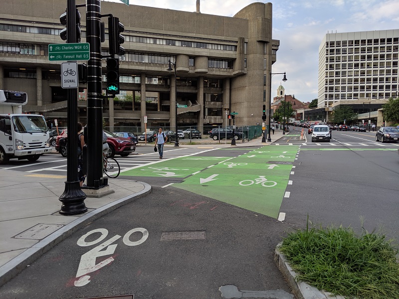
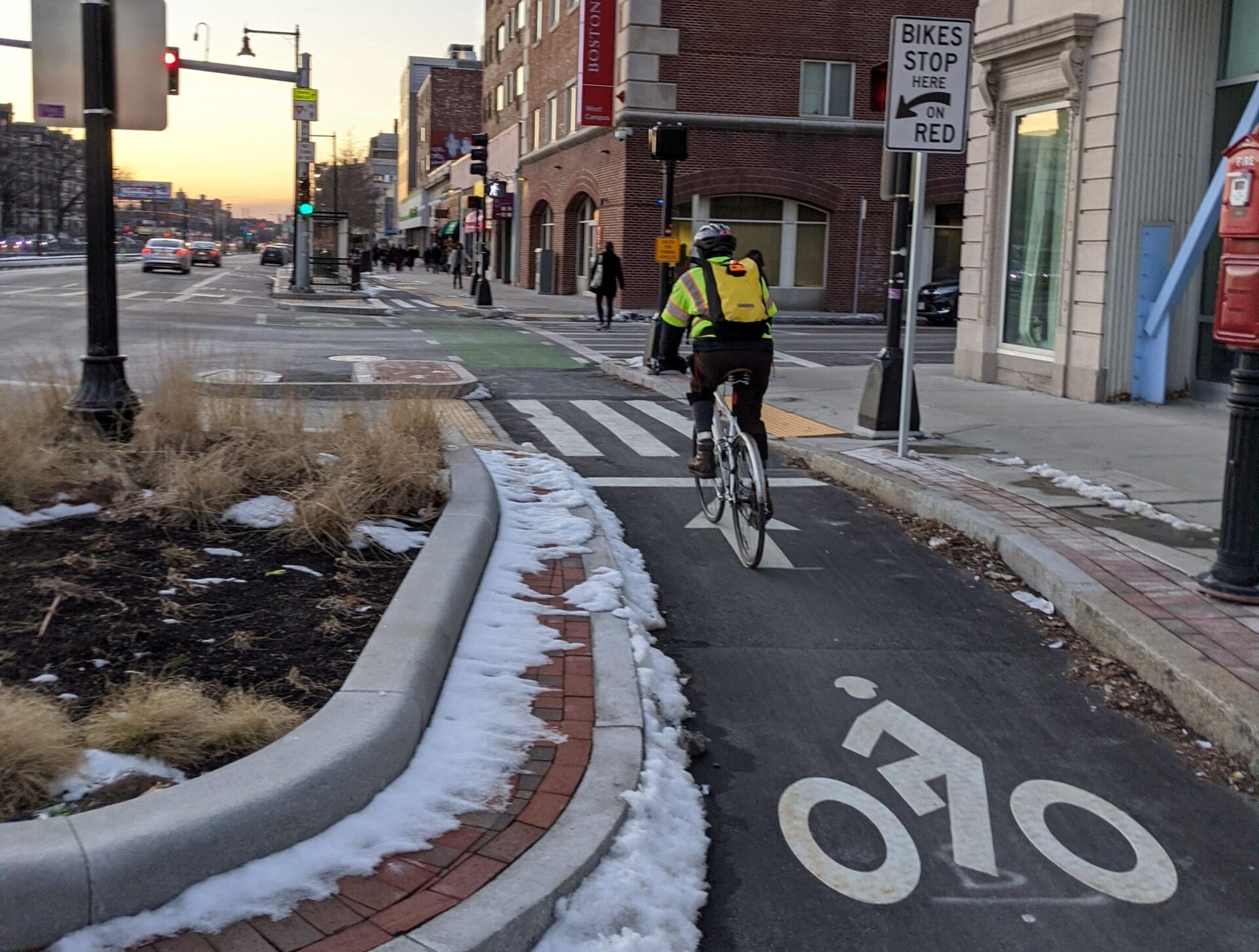
At the center of this expansion is a planned additional 9.4 miles of new bike facilities. This includes installing new separated bike lanes, converting paint-only bike lanes into parking-protected bike lanes, and adding contraflow bike lanes to one-way streets. The BTD strategically chose the locations for these new facilities after analyzing safety data and traffic patterns to identify facilities that provide the most benefit, often by closing known gaps in the low-stress bike network.
These new facilities will create a low-stress bike network that:
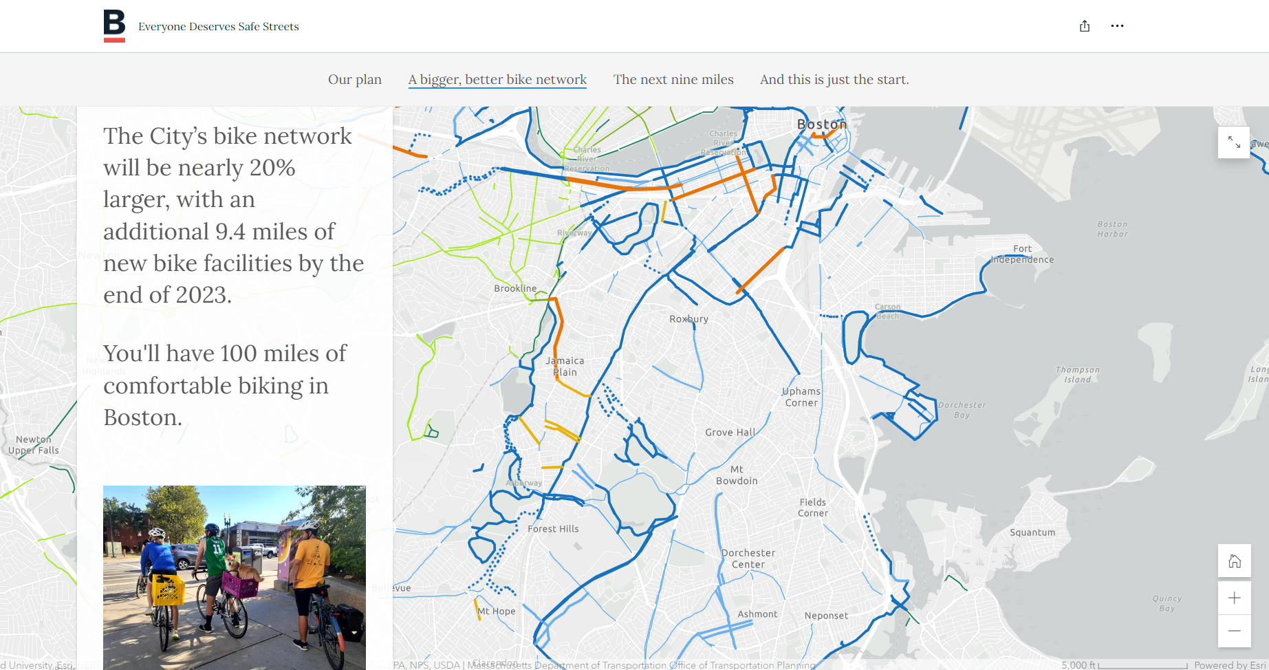
- Is nearly 20% larger, providing 100 miles of comfortable biking in Boston.
- Is within walking distance of 50% of city residents (currently 28%).
- Connects to 72% of jobs in the city.
It also connects residents to more parks, grocery stores, libraries, schools, and community health centers.
Increase Accessibility to Protected Bike Lanes
The most important focus of Boston’s bikeway expansion is that it focuses on constructing a bicycle network that is low-stress and comfortable for everyone, regardless of age or ability.
When a bicycle trip is interrupted by a more stressful biking environment, like a shared lane or an unprotected bike lane that runs alongside parked cars, many people will choose not to get on their bike at all. Through the expansion, the City of Boston has been clear that in order for the bicycle infrastructure to serve all residents, the network should be appropriate for everyone. The City will prioritize projects that create more low-stress connections. The next 9.4 miles of Boston’s new bike facilities will be separated lanes, designed to fill critical gaps in the network.
Separated bike lanes allow riders to go at their own pace and provide a clear view and expectation for vehicle drivers. In one of the most comprehensive studies of bicycle and road safety to date, researchers from the University of Colorado-Denver found that separated and protected bike lanes lead to fewer fatalities and better road-safety outcomes for all users-those who are walking, riding, or driving.
Create a More Environmentally Sustainable Transit Option
Transportation consistently remains the largest source of greenhouse gas emissions (GHG) in the country. In Boston, an estimated 65% of emissions come from passenger vehicles. While this expansion is first and foremost intended to improve the overall experience for Boston cyclists and increase the number of residents who are safely able to use it, a secondary goal is to decrease the city’s GHG emissions and improve the air quality for all.
A 2022 report developed by the FIA Foundation studied extensive, well-developed bike networks across the globe and estimated the impact of these networks to:
- Deliver the equivalent benefits of planting 300,000 to 400,000 new trees every year.
- Mitigate nearly the same amount of GHG emissions per year created by highway development.
- Lead to a ten-fold emissions reduction per dollar spent on infrastructure compared to the development of metro rail systems.

The new bike network will be nearly 20% larger, meaning 100 miles of comfortable biking in Boston.
Providing a Clear Communication Plan
It can be easy to discuss transportation infrastructure projects as stand-alone initiatives with defined extents. BTD partnered with Kittelson to create a more expansive view that showed how individual projects tie together a larger vision for the city, and they worked together to determine the best way to communicate the logistics of the plan and the “why” behind it. BTD partnered with Kittelson & Associates to create 3D renderings, as well as detailed spatial and network analysis of the proposed bike network.
Our team’s analysis helped to quantify the benefits of the proposed improvements and capture a baseline understanding of where the infrastructure is at today as reference point for the future. From there, we developed a series of metrics and maps to show the impact of the expansion for Boston residents. The analyses were combined with the 3D renderings to show the types of projects being pursued.
BTD compiled the content online and launched a website, “Everyone Deserves Safe Streets,” for the public to view and gain a better understanding of their plans for the city. This site takes a more visual approach compared to publishing traditional reports. On there, viewers find information regarding the plan’s goals that isn’t bogged down in technical jargon. Instead, the information is presented in a way that’s easily digestible-small paragraphs, statistics accompanied with charts or maps to demonstrate the numbers, and interactive features that allow viewers to see the before and after of the proposed improvements.
Reading about a new protected bike lane is one thing, but to be able to see what it actually looks like (including animated cyclists using it) has a much stronger impact.
The goal of the website is to tell a story and bring the information to life. Numbers and charts only go so far; they only speak to a certain group of people. Just like we want the bike network to be accessible to everyone, we want the information for the proposed network to be accessible to everyone, too.

The website provides an interactive map that shows how Boston's bike network will transform over the next three years.
Lessons from Boston for Improving Your City’s Bike Network
This expansion plan is tailored to the needs of Boston residents-considering the diverse population, existing pedestrian and transit systems, and the larger vision for the city’s future. However, it offers several principles that can be valuable for any jurisdiction looking to expand or improve their network:
- Look at what you already have. Impactful plans do not have to involve reinventing the wheel. Instead, it requires you to think opportunistically. Nearly every city, county, or jurisdiction has some type of infrastructure to build from. If you’re in Florida and have an established system of boardwalks, examine that system first for areas of improvement before seeking to implement something brand new.
- You can move quickly. The Boston bike expansion plan focuses on quick-build projects, such as converting a paint-only lane on South Huntington Avenue to a parking protected lane (which is already complete). With quick-build projects, things move faster, and it allows you the flexibility to make changes to the design based on community needs and response.
- Think holistically. A connected network is worth more than the sum of its parts. The BTD recognized that while it was important for individual lanes to be safe and comfortable for riders, it was more important that these lanes connect. Take a step back and think about your infrastructure as a whole-what gaps need to be closed to get people to everyday destinations.
At Kittelson, we have partnered with BTD since 2019 and were thrilled at the opportunity to assist in the planning and analysis portion of their bicycle path expansion plan. If you want to know more about our work on this project, feel free to reach out with any questions.
