March 13, 2025
If a picture is worth 1,000 words, then a visual depiction of context classification is worth… 1,000 hours spent in meetings and processes getting planners and engineers on the same page? That very well might be the case!
If you’ve been in the transportation profession for any length of time, you’ve likely seen this graphic from the Florida Department of Transportation (FDOT) that illustrates eight context classifications, each calling for unique planning and design considerations. But there’s more to the story than meets the eye. Read on to learn how the graphic came about, and what it means for how states can approach context classification today.
Context Matters!
The design of a roadway is inseparable from its context. Everything from the width of travel lanes to the presence of walking and biking facilities to the speed of the roadway is connected to the needs of the area it travels through. This may sound obvious, but for a long time, transportation practitioners, designers, and professionals were trained to apply a consistent set of design standards from one of two buckets—urban and rural—to all projects. Our profession is actively shifting toward flexible, context-based design that considers more of the nuances of how transportation infrastructure interacts with its surroundings.
As part of this shift, the 2018 AASHTO Green Book recognized five land use context classifications for geometric design: rural, rural town, suburban, urban, and urban core, based on NCHRP Research Report 855. Context classification breaks land use patterns into categories for greater flexibility and more informed planning and design approaches that consider an area’s current characteristics, needs, and potential future development.
Telling the Story of Context Classification
When DeWayne Carver joined FDOT in 2013, he brought with him nearly a decade of experience working on new urbanist projects, and a firm conviction that roadway planning and design should be based on context. “I was steeped in form-based coding and the use of the rural-to-urban transect to organize my thinking,” DeWayne says. “When I went to FDOT, it was a natural thing for me to bring in.”
As FDOT’s Complete Streets Program Manager, DeWayne played an instrumental role in introducing context-based design to FDOT, leading the department’s transition to context classification and integrating it into their Complete Streets Policy. Along this journey, DeWayne found himself seeking a visual resource that would put planners and engineers on the same page—something that could describe context classification in an objective and measurable way, while also offering storytelling potential to depict how transportation decisions shape, and are shaped by, the surrounding environment. DeWayne developed the concept for FDOT’s context classification graphic, and Kittelson’s Aditya Inamdar brought it to life visually.
“Each section of the graphic has clues about how you should treat that section,” says DeWayne. “The more you look at it, the more you can analyze. Aditya carefully mapped the street network densities, building to street relationships, even building types to their appropriate context classification. It’s possible to tell the whole story of context classification just using the graphic. The symbology is clever and deeply embedded.”
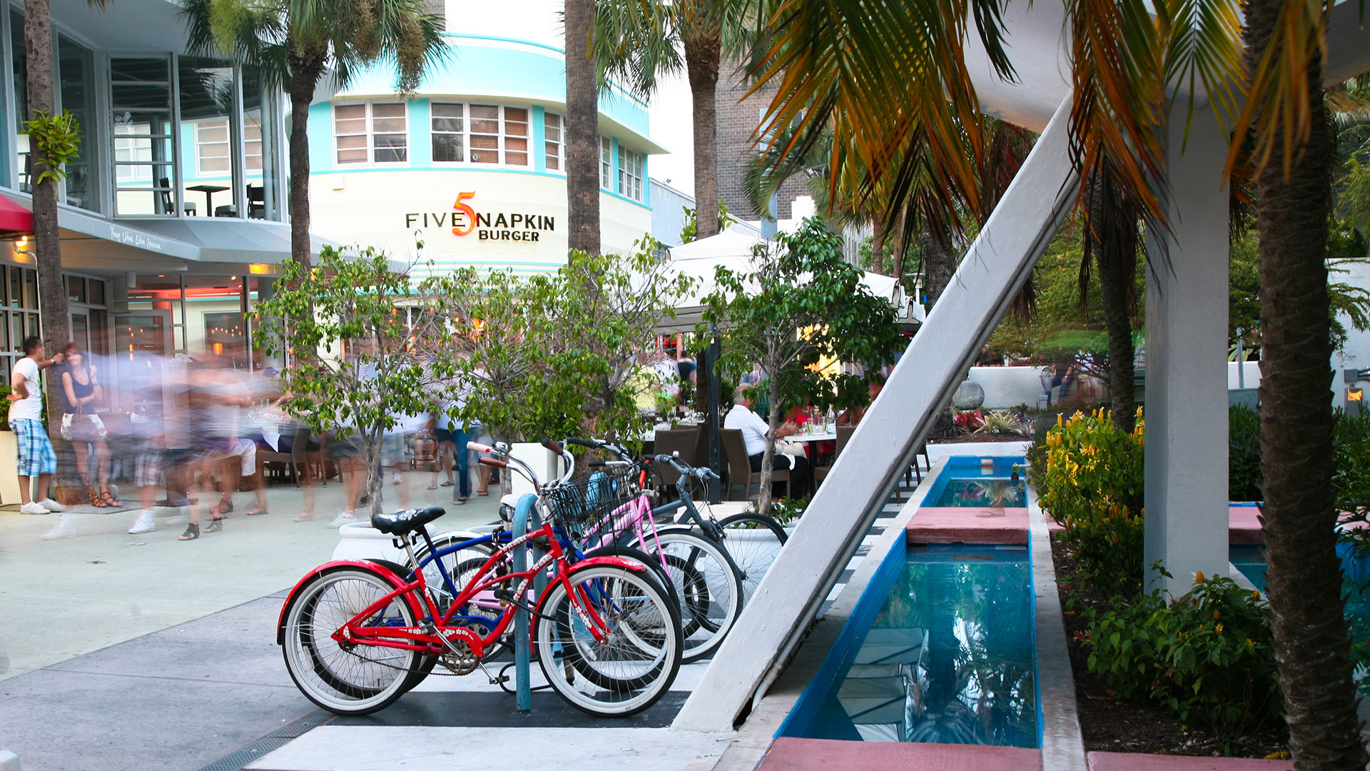
FDOT landed on eight classifications: natural, rural, rural town, suburban residential, suburban commercial, urban general, urban center, and urban core. While their system predated AASHTO’s five classifications, DeWayne explains that they can easily be mapped to one another; FDOT simply elected to break out some of the categories further as an aid to planners.
“In Florida, the distinction between C1 (natural) and C2 (rural) is not much on the design side; you’re still talking about a high-speed rural road, but a planner would be extremely interested in the difference,” says DeWayne. “C2 can be developed, while C1 cannot. C2 will probably transform into something else in the future. Similarly, suburban/commercial redevelops all the time, and may upzone to C4 (urban general). This helps us think about the needs of the future.”
Context classification helps us think about an area's current and future needs.
How Other States are Approaching Context Classification
Though FDOT’s Complete Streets Policy—and the accompanying graphic that has become a go-to communication tool for context classification—has associated Florida with the topic, DeWayne emphasizes the intent behind the graphic is not to present Florida’s classifications as the national standard. AASHTO’s five context classifications are meant to be a starting point for all states. Some states may choose to adopt the five, while others, like FDOT, may further divide the categories.
For example, Tennessee Department of Transportation decided to follow AASHTO’s five context classification categories. As part of their Project Scoping Guide, they developed design guidance and criteria for each. In contrast, Oregon Department of Transportation established six context classification categories by removing the rural context and subdividing the suburban context into three. This approach gives attention to urban/suburban areas, which can be a sticking point due to differing guidance between states and cities and typically require the most coordination with local agencies.
Context classification is applicable on the city level as well. The City of Sarasota, Florida approached context classification in close coordination with their land development code. They opted to use a variation of FDOT’s eight categories, determining “urban core” was not relevant in their case but that “urban center” and “urban general” could use further delineation.
The point is that context classification may look different from place to place. It’s not about creating a shiny new document; it’s about making the approach to planning and design make sense in your community. If one of AASHTO’s categories is too broad for your purposes, split it into subcategories to inform the design approach. On the flip side, only create category distinctions if you’re going to plan and design differently based on them. At the end of the day, a successful context classification system makes everyone’s lives easier.

It’s not about creating a shiny new document; it’s about making the approach to planning and design make sense in your community.
At the end of the day, a successful context classification system makes everyone’s lives easier.
Two Tips for Getting Started
If you haven’t yet undertaken the effort to implement context classification in your state, county, or city, or are just getting started, here are our two biggest tips for a productive process and meaningful outcome:
1. Build a multidisciplinary team. Bring together collaborators from planning, design, traffic operations, safety, and maintenance so that the guidance you develop considers all of these disciplines. (Breaking down silos within an agency comes with a myriad of other benefits, too, and can shed light on what departments have missed by not collaborating. You may be surprised how much your agency is already doing!)
2. Integrate it into your design guidance. This is how context classification gets applied, so map out a process that defines contexts and ultimately incorporates them into your design manual. This may mean a design department taking the lead, or at minimum being a key contributor who’s invested in the process and outcome.
And, more guidance is on the way! We have the privilege of leading NCHRP 20-44(51), a project initiated to develop training materials and resources to help state DOTs implement context classification. This guidance is expected to be released in 2026 and will be another tool in your toolkit as you move toward flexible, context-based design.
Continue the Conversation
After more than ten impactful years with FDOT, we are thrilled that DeWayne Carver is now a member of the Kittelson team, offering his deep knowledge of context classification, land use, and transportation planning to our clients across the country. To open a conversation with DeWayne about what context classification could look like for your agency, don’t hesitate to reach out!