June 27, 2024
In recent years, the frequency and severity of natural disasters have underscored the need for robust resiliency planning in transportation systems. In 2018, Hurricane Florence battered Wilmington, North Carolina, causing power outages that affected traffic signals. In 2020, California had a record-breaking wildfire year that forced thousands of people to evacuate from their homes. And in 2021, extreme heat in Portland, Oregon, melted the city’s streetcar cables causing service disruptions for days. In the face of these natural disasters, transportation agencies are increasingly recognizing the importance of resiliency planning: proactive measures to improve the safety and mobility of communities, not only during emergencies but also during everyday life.
Transportation agencies and consultants have a long way to go before anyone is an “expert” in resiliency planning, especially since resiliency can look different depending on where you are in the country. But one of the best ways we can learn is from one another! From hurricanes to tsunamis to wildfires, here are some of the ways we’re thinking about resiliency planning in our projects.
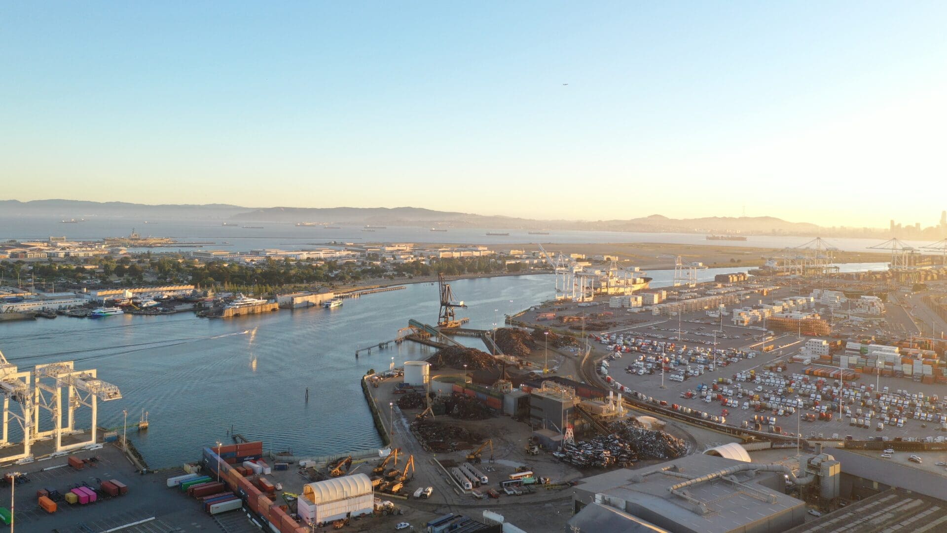
Alameda, California experiences earthquakes every year, but its low elevation and proximity to the coastline makes the City prone to tsunamis.
Alameda Tsunami Evacuation Planning Tool
The City of Alameda, California, is an island that connects to the rest of the Bay Area via five bridges. Like most of California, Alameda experiences earthquakes every year, but its low elevation and proximity to the coastline makes the City prone to tsunamis. The City has done planning to prepare residents in case of a tsunami evacuation. The Kittelson team assisted the City by building an evacuation planning tool that considers land use, travel modes, and intersection operations. It allows the City to understand how different scenarios would impact the island and clog the access bridges, helping the City to plan their evacuation routes ahead of time.
To Consider
While capital improvement projects, like shoulder widening, additional roadways/evacuation routes, or additional travel lanes, are important for evacuation plans, they can be difficult to implement in locations where space is limited, like on Alameda Island. But there are other strategies that don’t involve construction and still help roadway operations during an emergency:
- Leverage public transit for evacuations, especially for vulnerable populations. This can be effective because transit provides an option for people in the community that don’t have access to cars, allowing those residents to evacuate quicker than if they were to walk or bike. When thinking about including public transit in an evacuation plan, keep in mind that there’s a significant planning and implementation process involved because it can be difficult to coordinate emergency procedures and make sure transit operators are on the same page during an emergency. This becomes a limitation, especially in small communities that don’t have a large staff to begin with.
- Encourage carpooling to help reduce the number of vehicles on the road during an evacuation. It’s important to reduce the number of cars on the road during evacuations so that congestion does not block residents from evacuating quickly or keep emergency vehicles from getting to those in need. Carpooling and public transportation are good strategies to focus on for vulnerable populations that cannot evacuate themselves.
- Update the locality’s communication strategies. This is just as important as the resiliency planning itself; if community members aren’t aware of how they should evacuate, then the benefits of a resilient roadway network won’t be maximized. Educating residents about evacuation routes and procedures, like when and where to evacuate, is vital to a comprehensive resilient plan, keeping in mind that there may be visitors/tourists and non-English speakers that need to know what to do in an evacuation as well. Some strategies may include providing resources to aid people and distributing educational materials on how to prepare.

There is an increasing desire for planning for wildfires, with prone localities developing community wildfire protection plans or larger evacuation plans.
Tuolumne County Evacuation Assessment
In supporting the Tuolumne County Transportation Council (TCTC) and the City of Sonora, California on the creation of an emergency planning and management document for major wildfire incidents, we provided recommendations and improvements to evacuation and communication strategies, performed community outreach, and participated in collaborative planning efforts to help minimize the impacts on life safety to residents, first responders, and visitors. The recommendations came from first understanding where wildfires are likely to trigger an evacuation, then converting land use data and population data into evacuation trips, which is used to understand where capacity issues may arise.
This plan identified State Road 108 as a priority location for shoulder widening that could be used as a temporary emergency route in evacuations. TCTC used the plan to secure funding for the project.
To Consider
There is an increasing desire for planning for wildfires, with prone localities developing community wildfire protection plans or larger evacuation plans. Wildfires, as well as other natural disasters, are unpredictable, and it’s impossible for any single plan to model for every situation. As a result, it’s important to understand how area roadways work—and how they could work in an emergency—to build a plan that offers flexibility, redundant protections, and true resiliency.
- Assess a range of scenarios that could impact the road in an emergency. Analyzing a range of evacuation scenarios lets you build a plan around different factors and understand where congestion is likely to occur in the event of an evacuation or emergency. After analyzing these scenarios, you can then move on to identifying potential treatments to reduce congestion and support movement of emergency vehicles and those evacuating. Looking at a variety of scenarios can help prioritize the locations that consistently appear as congested in the analysis.
- Make recommendations to include projects that help increase the capacity on the roadway network. What are the available roadway networks? In rural areas, it is common to only have one roadway. When thinking about resiliency in an evacuation plan, it’s important to ask how the existing roadway network can be strengthened, or how alternative routes can be provided. An example of this concept could involve a rural community with only one single-lane highway going in and out of the town. In the event of an evacuation, this situation could lead to significant congestion. A proactive countermeasure could entail widening the road’s shoulders, allowing the possibility of additional lanes if needed.
- Look beyond the travel lanes. Is the shoulder wide enough to convert into another lane during emergencies, or is there a route for emergency services that could become a travel lane? Multiuse paths, shared use paths, and forest service roads can also be considered when planning for evacuation scenarios.
- Understand that many evacuation plans are car-centric. Although it’s important to prepare many options for people walking or taking public transit during a wildfire, especially in California, sometimes cars are the best option due to the speed wildfires can spread and the size of the area that needs to be evacuated. As stated above, having options for public transportation in evacuation scenarios is important when looking at resiliency planning from an equity lens. It’s important to recognize that while these options can be highly beneficial, smaller communities may face unique challenges due to limited resources and the unpredictability of natural disasters. Considering all modes of transportation when planning for evacuations is vital in order to create redundancy in planning.

The Space Coast Transportation Resiliency Master Plan focuses specifically on resiliency against sea-level rise; hurricanes and wind damage; shoreline erosion and storm surge; flooding; and heat, drought, and fire.
Space Coast Transportation Planning Organization Long Range Transportation Plan & Transportation Resiliency Master Plan
While working with the Space Coast Transportation Planning Organization (TPO) on their Long Range Transportation Plan (LRTP) in 2020, we wanted to consider resiliency from a long view, area-wide lens. This included thinking through how they should be looking at widescale environmental mitigation by analyzing how people interact with their environment to find an effective way to address environmental challenges. This led us to embark on the development of a Transportation Resiliency Master Plan.
The Space Coast Transportation Resiliency Master Plan (TRMP) focuses specifically on resiliency against sea-level rise; hurricanes and wind damage; shoreline erosion and storm surge; flooding; and heat, drought, and fire. This resiliency plan also utilized the TPO’s Vision Zero Action Plan in the development of the TRMP. The Vision Zero plan has aspects that works toward reducing traffic fatalities and crashes, an important goal of any equitable, resilient transportation system. Lastly, the plan uses congestion management techniques to improve network resiliency.
To Consider
- Before prioritizing projects to implement, identify shocks and stressors that are most prevalent and that impact the transportation systems. “Shocks” are an event that immediately threatens a community, such as a car crash or hurricane. “Stressors” are a continuous or reoccurring issue that impacts a community on a longer-term basis, such as aging infrastructure or sea-level rise.
- Perform a vulnerability assessment for the identified shocks and stressors. This assessment emphasizes the parts of the transportation system that are at risk and most vulnerable.
- Perform a criticality assessment to provide a structured way to focus on assets most important for the functioning of a transportation system or community in an emergency. For example, a corridor that links to the only hospital in the region that is prone to flooding or sea-level rise with no alternative routes is more critical than one serving local land uses.
The Space Coast Transportation Resiliency Master Plan was adopted by the TPO board and concluded with a public event to raise awareness called Ride the Wave to Resiliency.

Through the Neighborhood Slow Streets program, Kittelson and Boston Public Works Department worked together to incorporate green infrastructure into elements of the street designs.
Boston Neighborhood Slow Streets (Green Infrastructure)
The City of Boston enacted the Neighborhood Slow Streets Program to improve safety and quality of life in neighborhoods through traffic calming. This program is part of Vision Zero, which, as mentioned above, plays a vital role in creating equitable and resilient transportation systems. Through the Neighborhood Slow Streets program, Kittelson and Boston Public Works Department worked together to incorporate green infrastructure into elements of the street designs. This integration of green infrastructure enhances the effectiveness of traffic calming measures and contributes to resilience by mitigating heat island effects in warmer summers.
These resiliency changes came about because in 2016, Boston issued a climate readiness report to prepare for the impacts of climate change. Boston has two major focuses for green infrastructure planning: sea-level rise and heat island effect. Boston is a coastal city, so king tides and big storms affect the low-lying areas in the city.
The heat island effect is a phenomenon where urban areas have higher temperatures than rural areas because the roads and buildings soak up heat and hold it much longer than plants. By identifying these concerns, the city is prioritizing green infrastructure planning to address these challenges. The Neighborhood Slow Streets project shows the importance of integrating resilient, green infrastructure into everyday transportation design projects. This way, cities like Boston can improve their transportation systems to withstand and adapt to climate change while also improving safety and livability for residents.
To Consider
- Use transportation infrastructure to protect against sea-level rise. Infrastructure can be used to create barriers between the city and the sea. Modernize roadways by raising streets to become a barrier against flooding.
- Consider the heat island effect in design decisions. Removing materials like concrete and asphalt when updating roads makes the city more resilient to heat events because it allows the city to cool faster, not heat up as quickly, and can also be used to slow down storm water runoff events. Invest in and maintain tree canopies to shade roads and sidewalks.
Transportation can’t solve every problem when it comes to hurricanes, heat waves, or wildfires. But it is a vital piece of the puzzle. As we navigate the evolving landscape of transportation resiliency, emerging trends point toward a deeper integration of research-driven methodologies and a shift towards more holistic, community-centered approaches. By embracing adaptability, innovation, and inclusivity, we can forge pathways toward a more resilient future one that ensures mobility for all, even in the face of adversity.
We look forward to continuing to engage in these conversations and learn from other agencies who are taking a proactive approach to resiliency planning. If you have additional insights or questions, feel free to reach out to Grace Carsky, Radu Nan, or Mary Raulerson.